
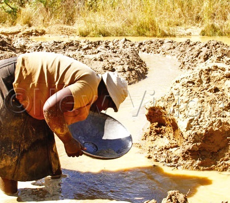
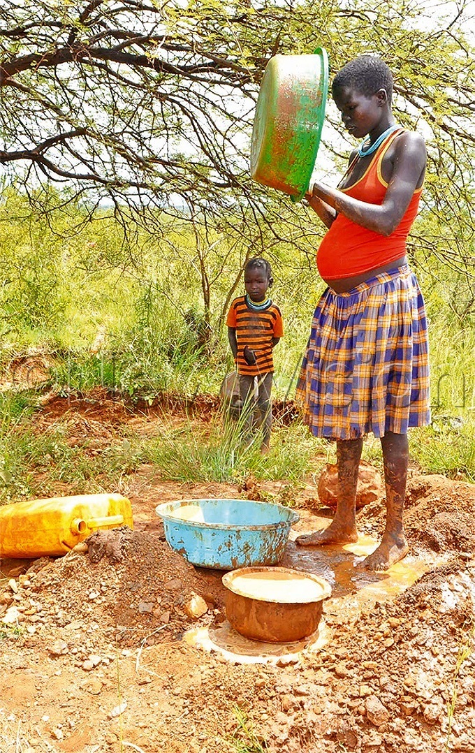
Karamoja mineral airborne survey delayed
In a bid to discover minerals in the country, airborne geophysical survey and geological mapping is to be done in Karamoja.
The airborne geophysical survey and geological mapping of Karamoja, which was meant to start in September, has been postponed.
According to the Directorate of Geological Surveys and Mines (DGSM), the contractor, Xcalibur Geophysics from Spain, with a footprint in South Africa, is demanding 15% of the cost of the exercise before the work.
The survey to establish the exact amount of mineral wealth in Karamoja is expected to consume an estimated euros 20.62m (about sh86b).
The DGSM acting director, Agnes Alaba, said, however, that everything is being done to ensure that the survey and mapping commences before the end of the year. The exercise is expected to take 18 months.
She also said a number of processes are yet to be concluded, which has had an impact on the exercise.
The Government already secured a loan for the exercise from the Corporate Internationalisation Fund of Spain, but it is supposed to contribute 15% counter finding.
Alaba also attributed part of the delay to the COVID-19 prevention measures that the Government had to take, which included the closure of the airport for passenger planes.
She explained that the six-month closure of the airport meant that the planes that were supposed to be flown in to be used in conducting the airborne surveys could not be brought.
"We have had engagements with several stakeholders, including the Uganda Civil Aviation Authority on the planes. Following the reopening of airports, we can assure Ugandans that it will kick off," Alaba said.
"We are working to ensure that the exercise starts before the end of this year. We are in touch with our mother ministry, who will guide on the appropriate time and date that the exercise should start," she said.
Objectives of the project
According to Sarah Opendi, the Minister of State for Mineral Development, the results of the survey will inform the decisions on the infrastructure needed to exploit the minerals.
"Government has bigger plans for Karamoja. Recently, Moroto was planned as a mining city," Opendi said. She aid the economic viability of the different minerals will also inform other investments there.
"The mining sector has the potential to employ several Ugandans, either directly or indirectly. If we confirmed several other minerals in Karamoja, we will attract local investors as well. These will create jobs for Ugandans and directly lead to establishment of facilities as hospitals, better schools and accommodation facilities," Opendi said.
The investments, she said, would be along the minerals' value chain, which would ensure industrialisation and also create jobs there.
The airborne surveys are among the many undertakings that the DGSM are working on in Karamoja, according to the ministry.
The activities, she said, should bring greater economic benefits and opportunities for household development once the minerals are established.
The plans
The Karamoja airborne survey will be conducted in three main phases. Phase one includes magnetic and radiometric survey in the Karamoja region (block A) and plan-granitoid block (block B).
This, according to the project brief, includes line spacing of 200 metres, coverage of total line kilometres of 229,136. This is expected to run for six months.
It will also include data acquisition, processing and interpretation and gravity surveying.
The second phase also includes magnetic and radiometric surveys, but for the selected areas under the first phase. This is expected to cover an estimated 40% of the Karamoja region and it is expected to run for three months.
The phase also includes Electromagnetic (EM) survey for the selected areas, intended to identify potential resources in minerals, water and geothermal.
The third phase will include undertaking the entire regional geochemical campaign and that this will target about 3,000 sampled areas.
The third phase will be concluded by geological mapping of the area.
According to the project brief, it will include services, such as training of Ugandans on the job and at master's level, to build the country's capacity to conduct the surveys.
In addition, the ministry says, Karamoja region will be equipped with basic laboratory equipment for mapping surveys.