
Minister Nabakooba rallies land researchers to drive policy for secure tenure, sustainable development
Nabakooba emphasised that land is wealth and called for science-led solutions to address land tenure insecurity, data overlaps and institutional inefficiencies.
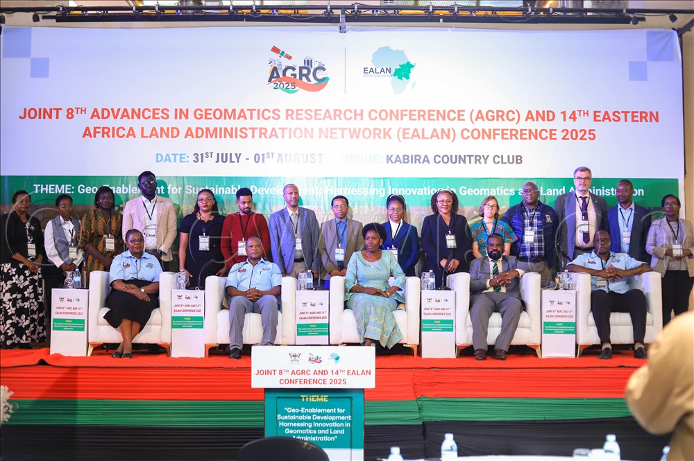
Minister of Lands, Housing and Urban Development, Judith Nabakooba, has called for urgent and innovative reforms in land administration across Africa. (Photos by John Musenze)
________________
Lands, housing and urban development minister Judith Nabakooba has called for urgent and innovative reforms in land administration across Africa, urging scientists, surveyors, researchers and universities to become frontline agents of policy transformation.
Speaking at the joint 8th Advances in Geomatics Research Conference (AGRC) and 14th Eastern Africa Land Administration Network (EALAN) Conference at Kabira Country Club on July 31, 2025, Nabakooba emphasised that land is wealth and called for science-led solutions to address land tenure insecurity, data overlaps and institutional inefficiencies.
“This conference is a space where problems must be analysed and, most importantly, where practical solutions must be designed, owned and implemented. The Government is waiting to receive outcomes from this forum to inform policy refinement.”
The minister decried the low rates of registered land in Uganda, revealing that only 30% of land across the country is titled, with the majority remaining under customary tenure, a situation she believes fuels conflict, land grabbing and underdevelopment.
“How do we scale land registration in our countries?” she asked the audience.
“If we scale it up, we’ll reduce conflicts and land-grabbing complaints. We must also confront border ambiguities and inter-district land disputes, all of which require scientific, regional and institutional co-operation.”
Nabakooba reiterated the Government’s ongoing commitment to strengthening Uganda’s land administration, citing progress in expanding the Land Information System, applying blockchain technology to ensure data integrity, and establishing a geodetic reference framework with over 400 active and passive stations. She noted that five of Uganda’s reference stations now contribute to the global GNSS network.
“These goals cannot be achieved by the Government alone. We need academia, researchers, and the private sector. We need all key players.”
Surveyors working outside formal structures
Nabakooba warned that professionals, majorly the surveyors operating outside formal registration structures, would soon be compelled to regularise their work.
“I heard our professor recognising those who are not registered. I think it’s not a good thing, professor,” she said. “If they are proud of what they do, they must register. Even government officials, if you are practising, you must be registered.”
She revealed that Cabinet has already discussed the issue and that she was working on regulations, pending legal amendments, to compel registration for all surveyors as a step toward greater accountability and professional integrity.
“We have seen things done the wrong way, and when you ask the Surveyors Registration Board to follow up, they say, ‘These are not our members.’ What do we do? People must register.”
Driving spatial science education and collaboration
Representing Makerere University vice-chancellor Prof. Barnabas Nawangwe, university research, innovations and partnerships director Prof. Robert Wamala underscored the university’s leadership in spatial science education and regional collaboration.
“Geospatial data is the foundation for effective planning, disaster preparedness, environmental management and land governance,” Wamala said. “Our revised research agenda (2025–2030) prioritises sustainable urbanisation, spatial planning, and land governance, which directly aligns with this year’s conference theme.”
Prof. Wamala pointed to the transformative role of new technologies like AI and drones in improving data accuracy and coverage.
“Through such innovations, we can enhance land tenure systems and support national and regional development goals,” he said.
He noted that Makerere, now chairing the EALAN network for 2024/25, would leverage its position to encourage harmonisation of land policies and practices across East Africa.
The three-day joint conference, which started with pre-conferences earlier this week, is hosted by Makerere’s Department of Geomatics and Land Management. Under the theme of Geo-Enablement for Sustainable Development: Harnessing Innovation in Geomatics and Land Administration, the conference convenes researchers, policymakers, technologists, development agencies, and industry leaders from across Africa with some representations from the Dutch land experts.
According to conference chair Dr Lydia Mazzi Kayondo, the conference also aims to strengthen collaborative networks like EALAN, which has grown since its founding in 2006 into a key platform for land administration research and training in Eastern Africa.
Nabakooba reinforced the call for science-driven land governance.
“We believe science can help us make informed decisions — not based on sentiment, but on data. And those decisions will stand the test of time,” she said. “We must think about the technologies that can support the SDGs, Vision 2040, and Agenda 2063.”
As Africa grapples with similar land challenges across national and district borders, the minister encouraged participants to develop regionally harmonised frameworks that inform national actions.
“If our core teams meet and agree scientifically, then we can move forward and do what is required. Our problems are not unique. What is happening in Uganda is also happening in Kenya, Tanzania, the DRC and Rwanda. Let’s work together.”